Skip to content
Leslieville Historical Society
Tag Archives:
Rhodes Avenue
May 26 in Leslieville’s past
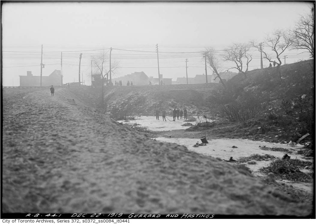
February 27 in Leslieville’s past: Skating, pleasures and perils
Subscribe
Subscribed
Leslieville Historical Society
Join 135 other subscribers
Sign me up
Already have a WordPress.com account?
Log in now.
Leslieville Historical Society
Subscribe
Subscribed
Sign up
Log in
Report this content
View site in Reader
Manage subscriptions
Collapse this bar