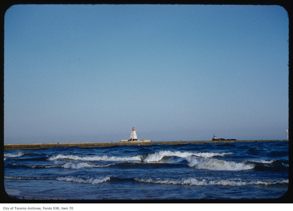
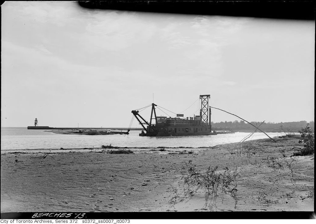
Cherry Beach looking over a rolling Border Terrier to the Leslie Street SpitEast Gap at Toronto Island – 1953Sand pump east of Eastern Gap – Oct. 18, 1935 A pump is mounted on the dredge. Sand is sucked up at one side of the barge to deepen the Eastern Gap. At the same time, the sand sucked up is discharged through the long pipe to be deposited near the natural sand bank, building it up to create what we now know of as Cherry Beach.Sand pump east of Eastern Gap – Oct. 18, 1935 This process had been used by the City of Toronto since the 1890s and accelerated during World War One and the creation of the Eastern Industrial District, now known as the Portlands.Sand pump east of Eastern Gap – Oct. 18, 1935 The Eastern Gap had to be constantly dredged to keep it open for traffic as the offshore currents brought in sand eroded from the Scarborough Bluffs.Sand pump east of Eastern Gap – Oct. 18, 1935, looking west towards Ward’s Island. The dog park is in this area now and the remains of the lighthouse and jetty remain, albeit with more debris and sandbar willow, goldenrod and other plants, both native and non-native, reclaiming the construction debris for Mother Nature and the pups.Sand pump east off Eastern Gap – Nov. 23, 1935 Sand pump east of Eastern gap – Nov. 23, 1935Beach near sand pump east of Eastern Gap – Nov. 23, 1935Sand pump east off Eastern Gap – Nov. 23, 1935
Welcome to the Leslieville Historical Society's website. Please feel free to join us, to ask questions, to attend walking tours and other events, and to celebrate Leslieville's past while creating our future. Guy Anderson, President, Leslieville Historical Society and Joanne Doucette, local historian and webmaster.
View more posts
One thought on “The Continued Creation of Cherry Beach (featuring 1935)”
I would some information about the area around Woodbine Beach in 1921.


I would some information about the area around Woodbine Beach in 1921.