

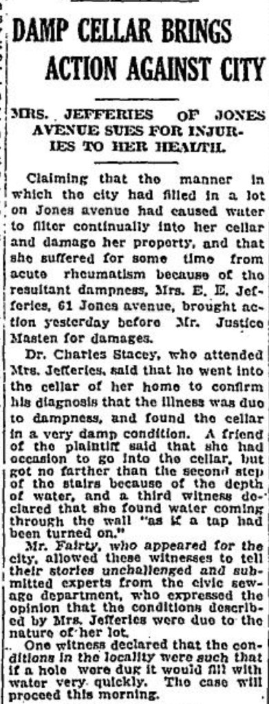
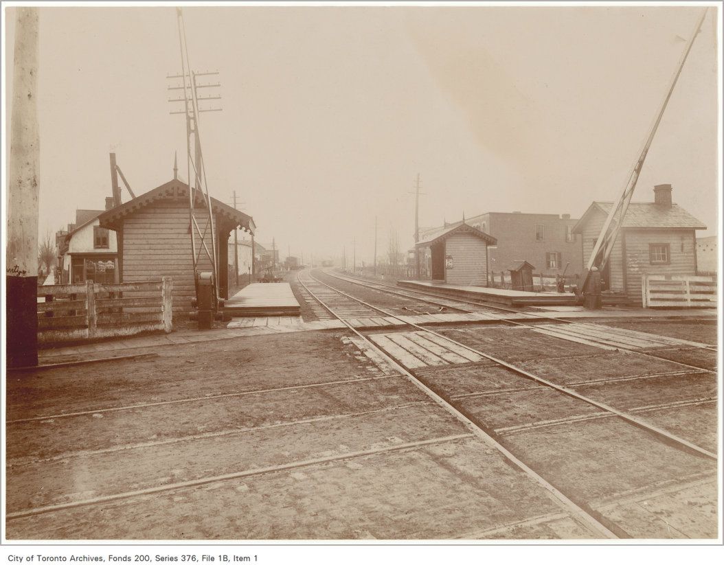
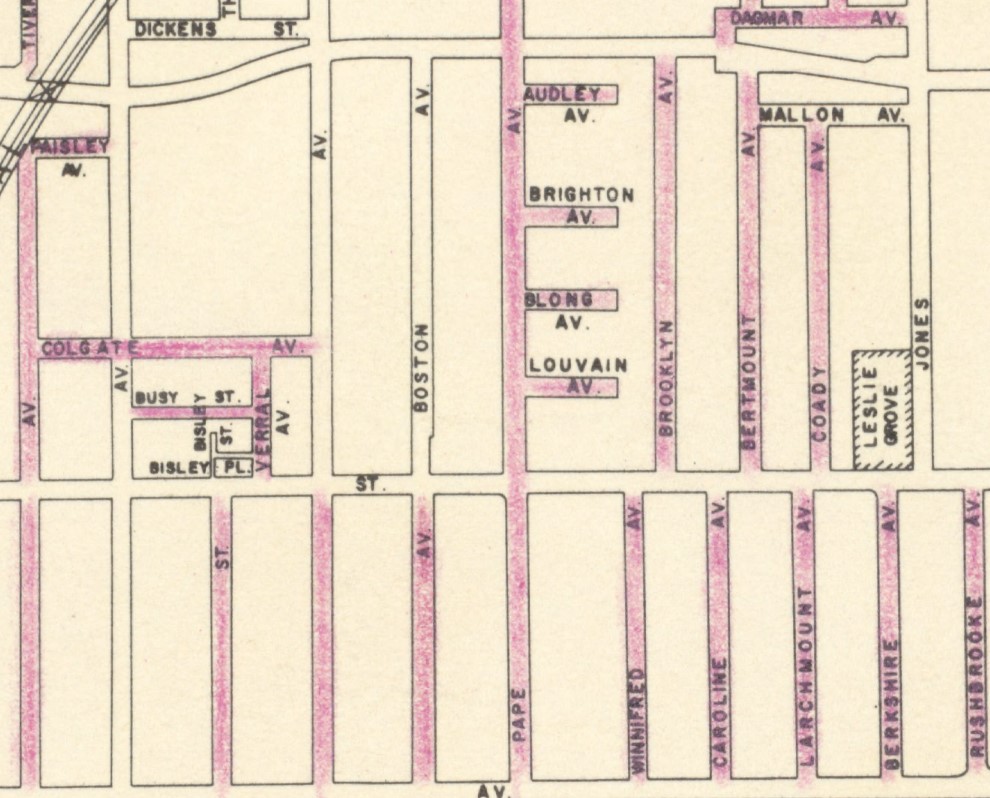
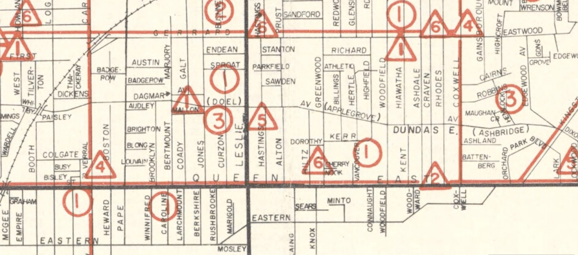
Leslie Creek started on the hill north of Blake Street, crossed the track, and ran down west of Leslie Street to cross Jones Avenue where this unfortunate woman’s house was. The creek was slow, muddy and a breeding ground for mosquitos which is why Lesliegrove Park was called “Mosquito Park.”

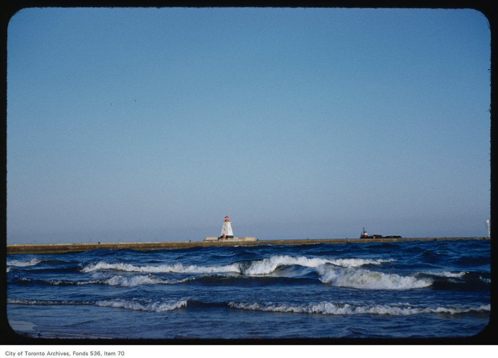
1899 Map showing Leslieville’s Lost Creeks


By Joanne Doucette (liatris52@sympatico.ca)
This is the last of this series of posts although I will edit and update the posts as more info and material surfaces. This post contains
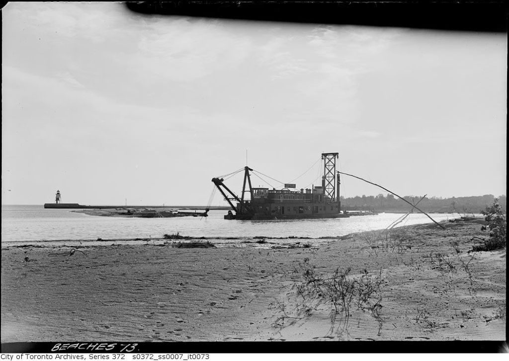
1. Aerial photos
2. Maps
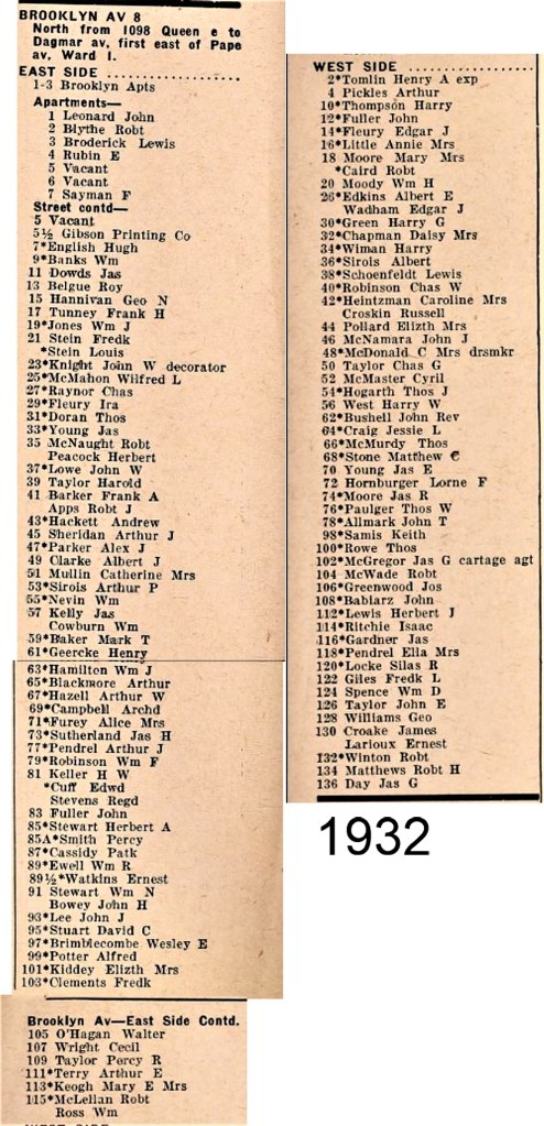
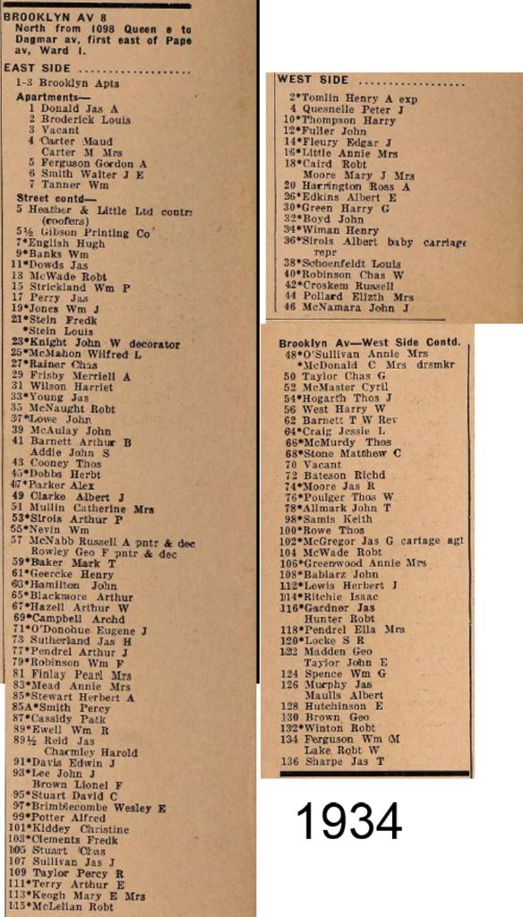
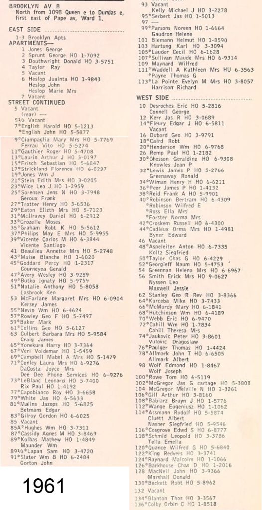
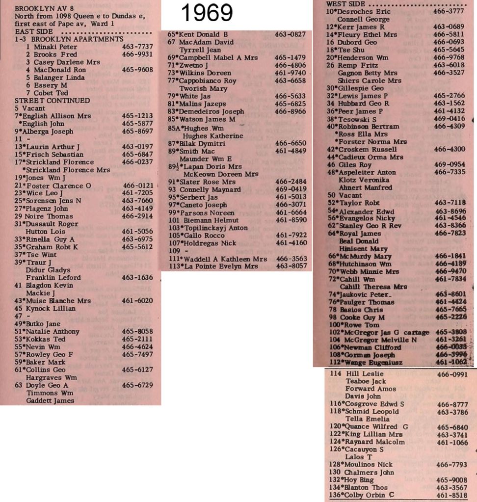
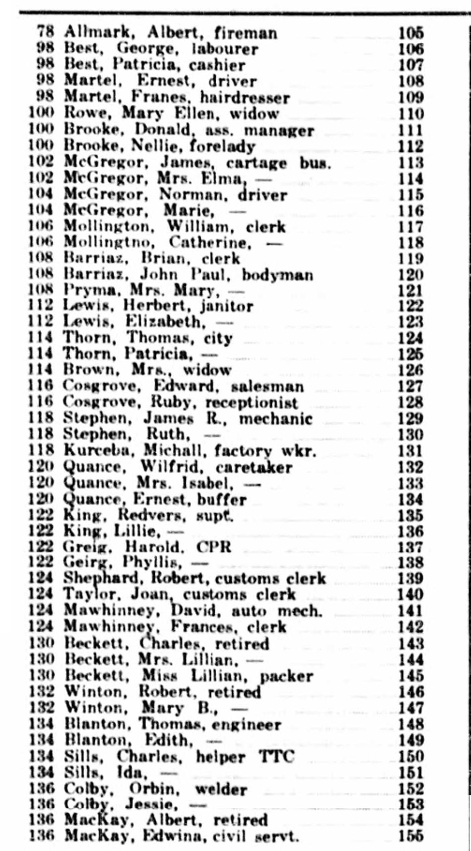
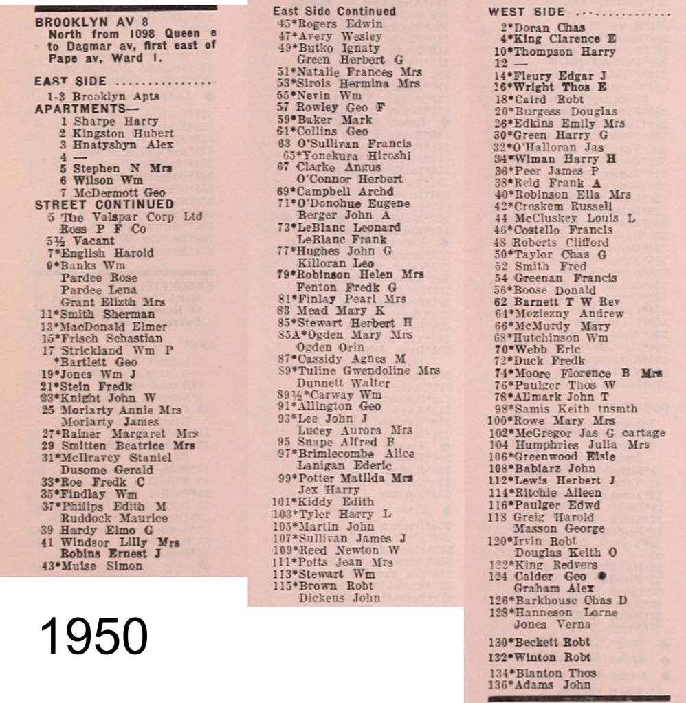
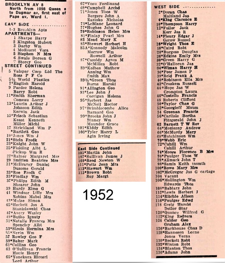
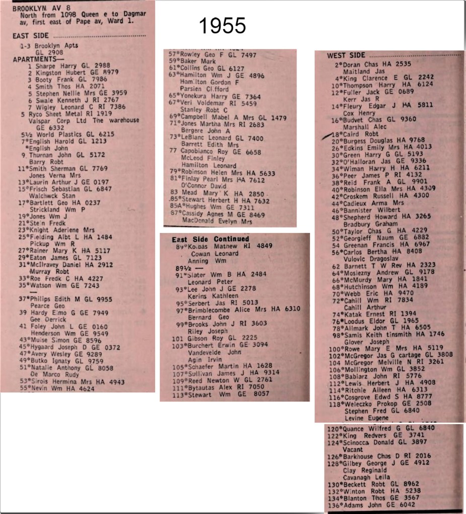
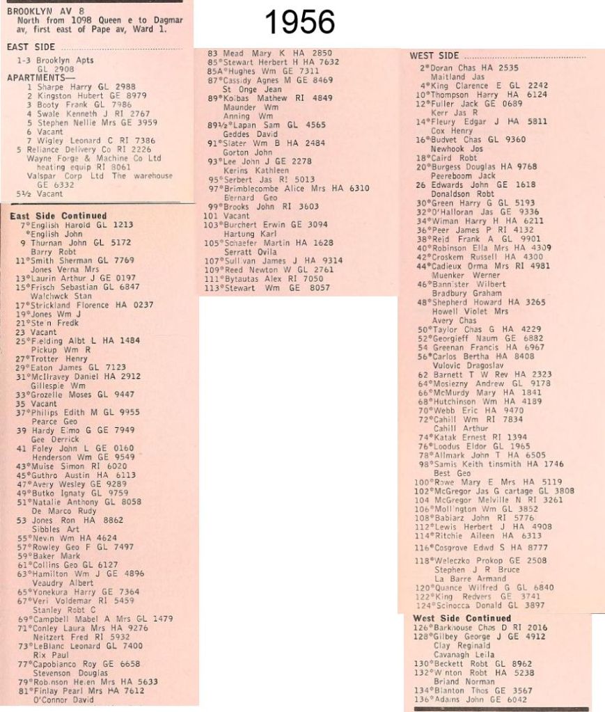
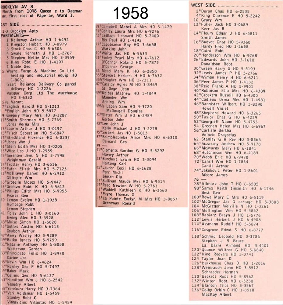
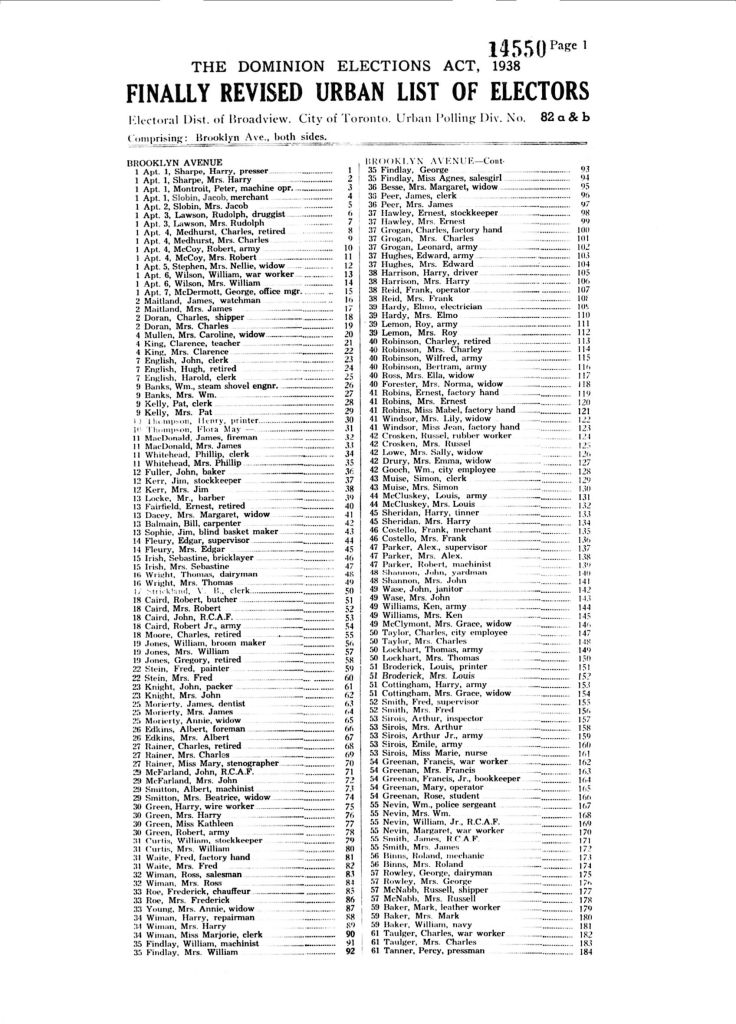
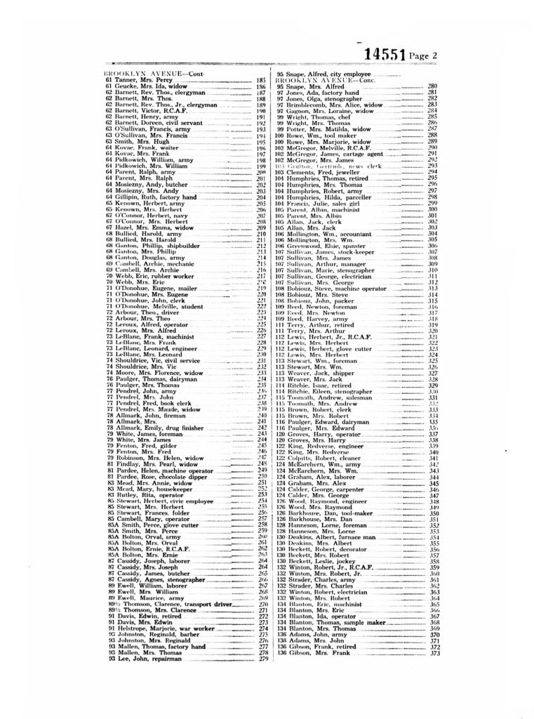
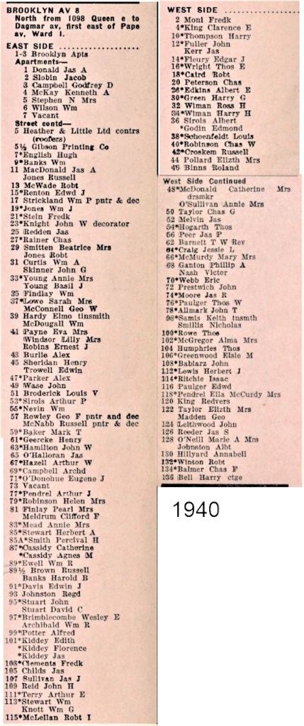
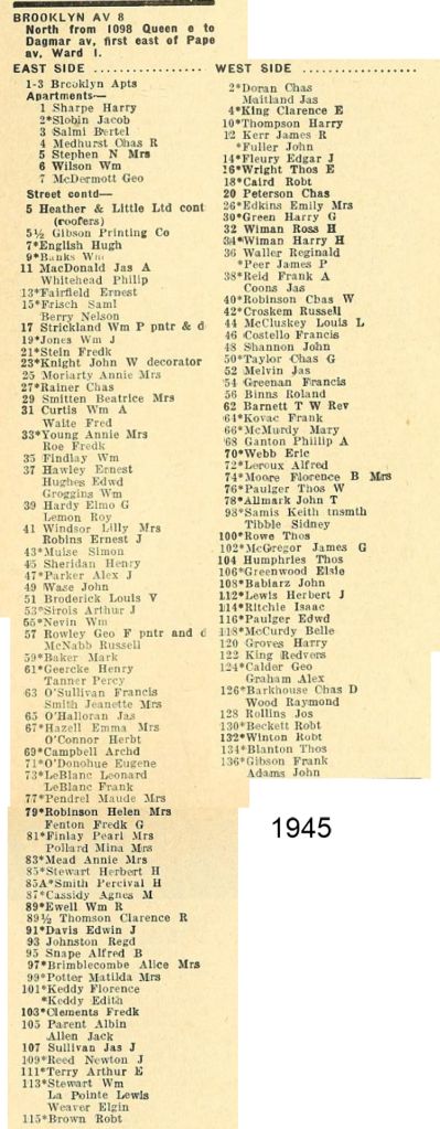
3. City Directories


By Joanne Doucette (liatris52@sympatico.ca)
This posting contains:
Before and after the construction of Dundas Street East.


By Joanne Doucette (liatris52@sympatico.ca)
In this post there are:


By Joanne Doucette (liatris52@sympatico.ca)
This posting includes: