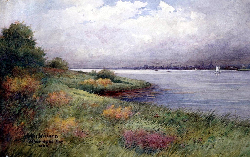
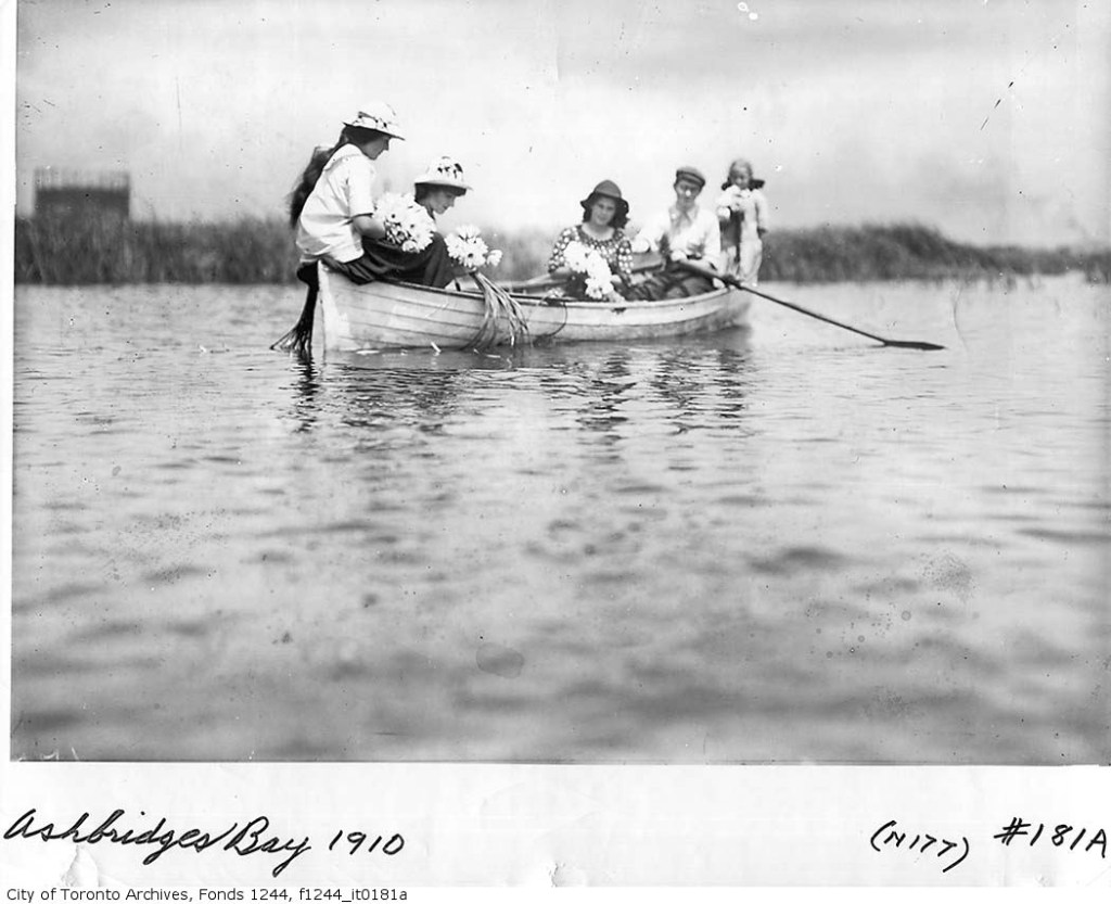
Ashbridge’s Bay, map from 1912Ashbridge’s Bay painting by John Willson 1899
Ashbridge’s Marsh, Lucius O’Brien, 1873
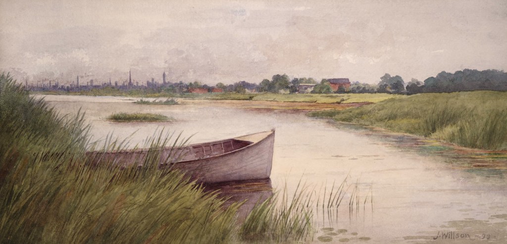
Ashbridges Bay, John Willson, 1900
Michael Hannaford, Scarborough Heights, 1883. Ashbridges Bay on the left with the City of Toronto in the distance.
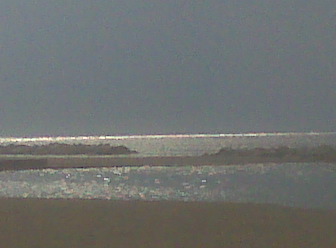
Sunset on Ashbridges, about 1909. Bay, City of Toronto Archives, Fonds 1244, Item 248.Ashbridges Bay, 1890s looking west towards Booth Avenue (buildings in distance are at what is now Booth and approx. Eastern Avenue).Photograph of Lake Ontario shoreline by Joanne Doucette. Some parts of the old Ashbridges Bay may have looked similar — with a long line of sandy beach and dunes separating a shallow lagoon from the lake beyond.
Welcome to the Leslieville Historical Society's website. Please feel free to join us, to ask questions, to attend walking tours and other events, and to celebrate Leslieville's past while creating our future. Guy Anderson, President, Leslieville Historical Society and Joanne Doucette, local historian and webmaster.
View more posts
2 thoughts on “The Story of a Marsh — Now a Harbor”
Wonderful picture and photos , but the text we too small for me to read.


Wonderful picture and photos , but the text we too small for me to read.
Steve Russell
Go to the slide show. Smaller sections of the article are posted there in order and you can scroll through them to read.