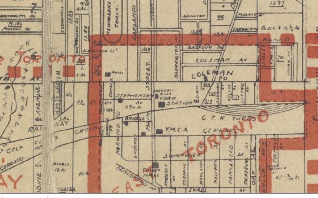
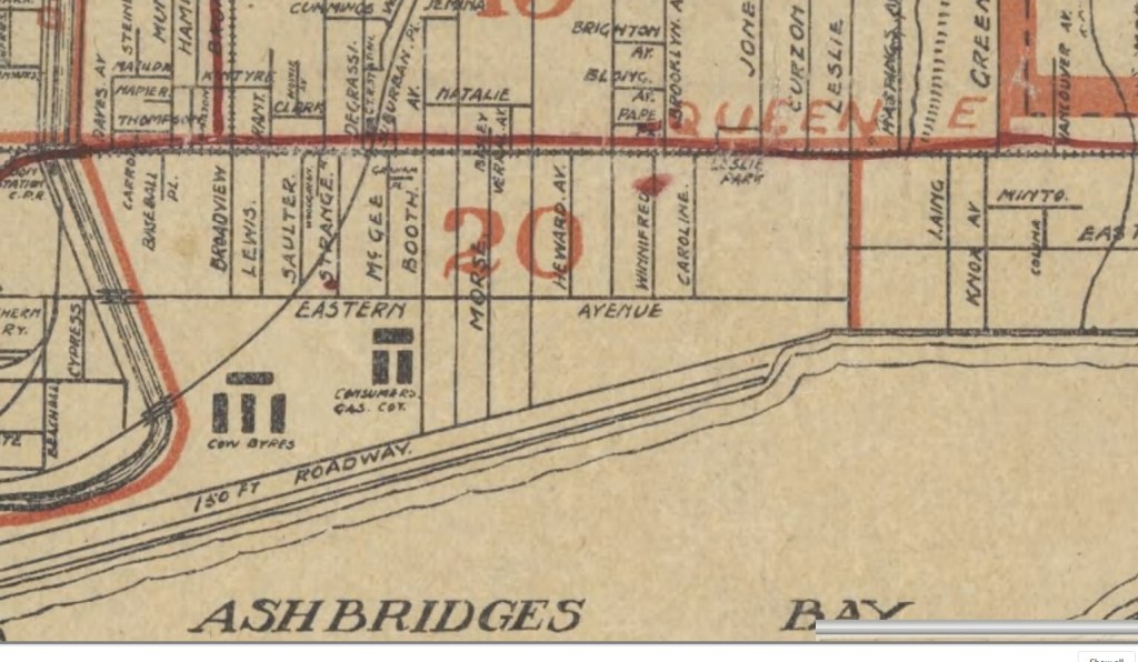
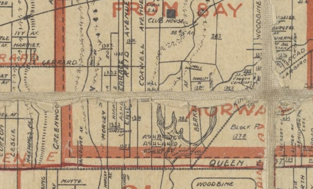
1909 Map of Township of York and City of Toronto East Toronto (north of Benlamond)1909 Map of Township of York and City of Toronto East Toronto (south of Gerrard but not including the Beach)1909 Map of Township of York and City of Toronto- Woodbine to Victoria Park1909 Map of Township of York and City of Toronto Leslieville and Riverside1909 Map of Township of York and City of Torontonorth shore of Ashbridges B1909 Map of Township of York and City of Toronto Midway (north)1909 Map of Township of York and City of Toronto Midway (south)
Welcome to the Leslieville Historical Society's website. Please feel free to join us, to ask questions, to attend walking tours and other events, and to celebrate Leslieville's past while creating our future. Guy Anderson, President, Leslieville Historical Society and Joanne Doucette, local historian and webmaster.
View more posts