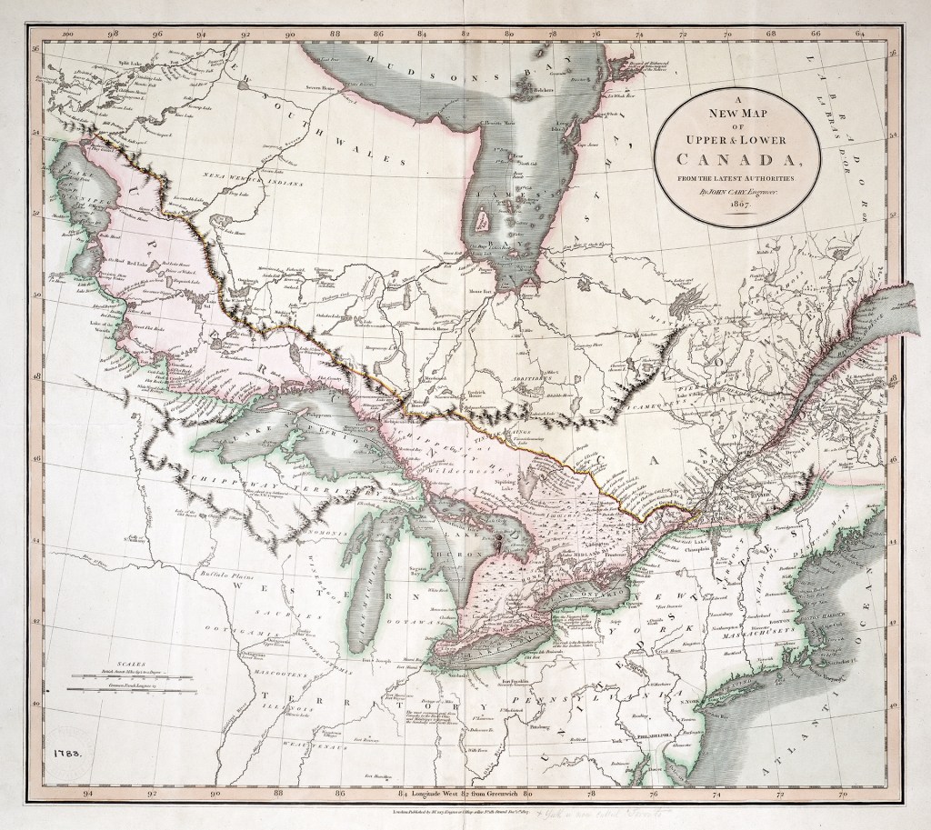
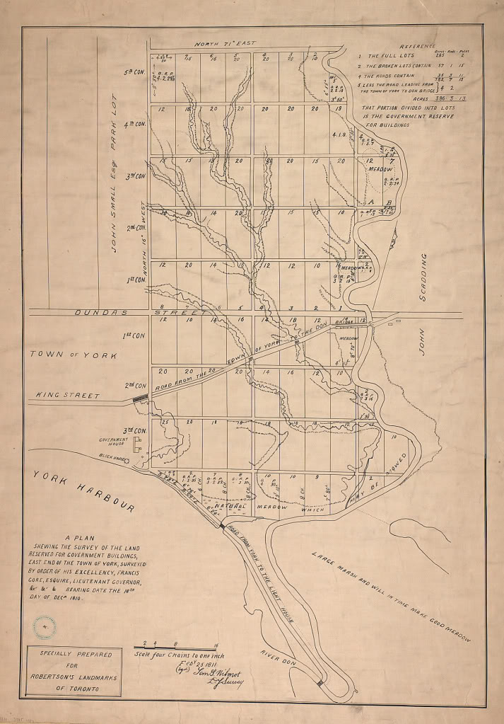
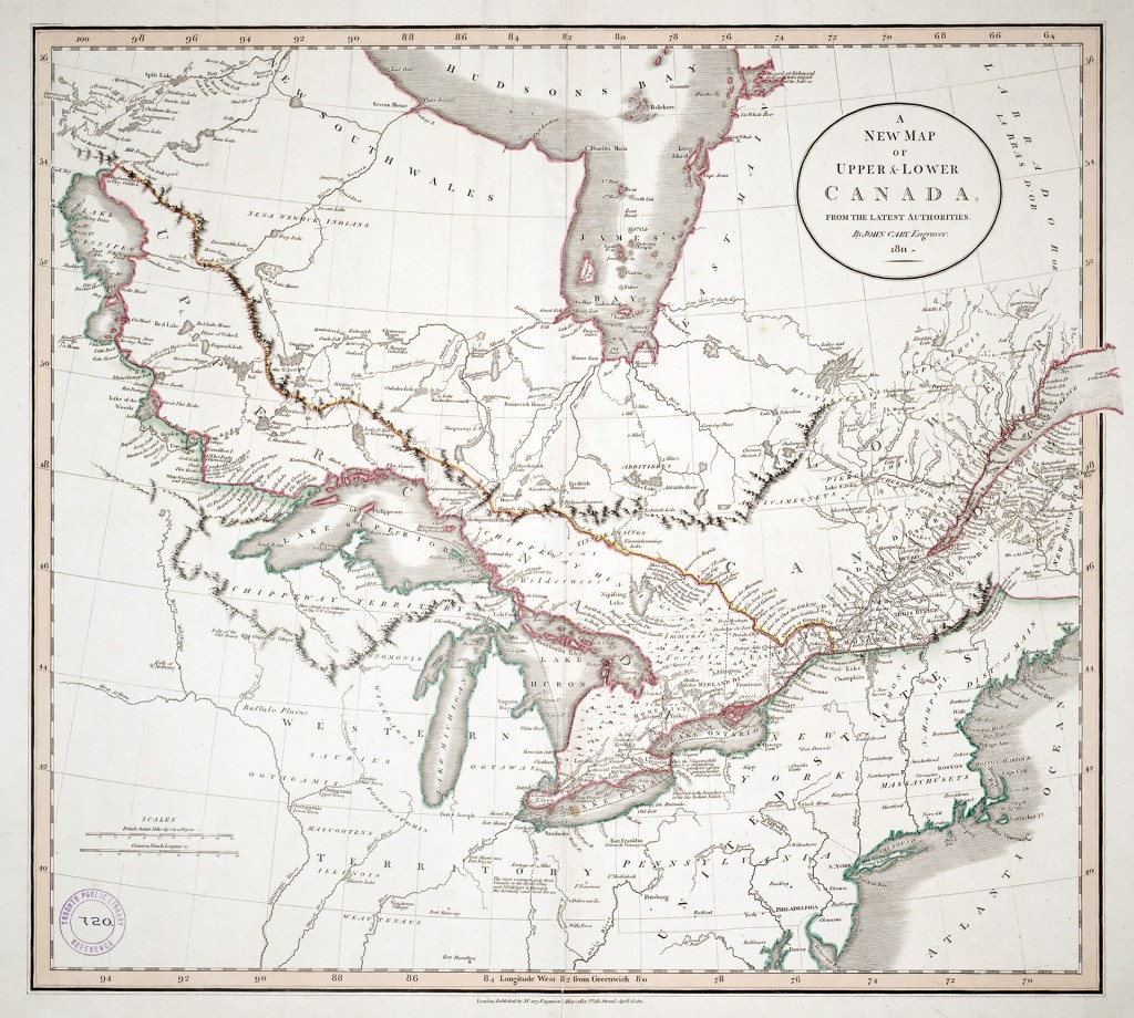
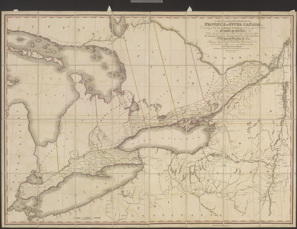
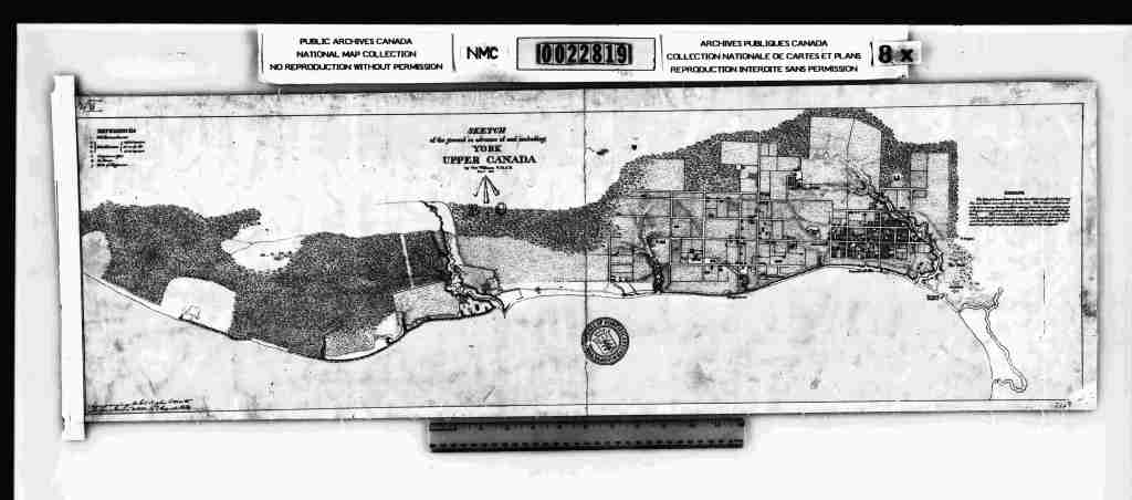
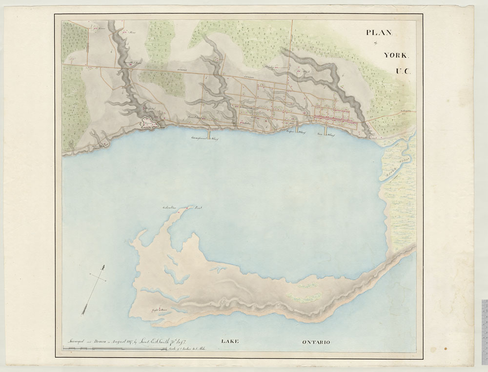
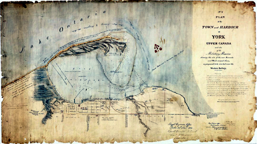
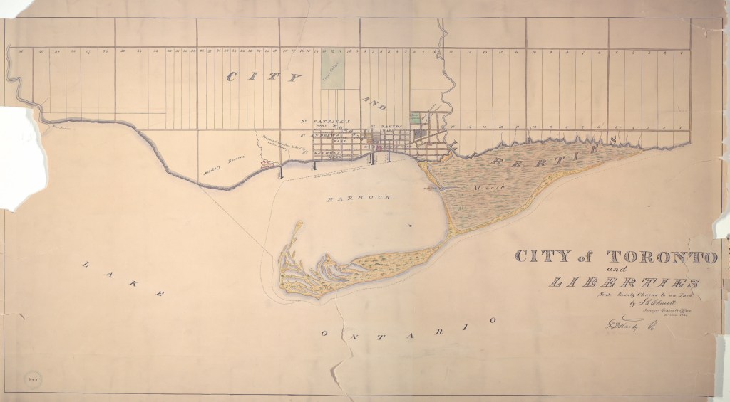
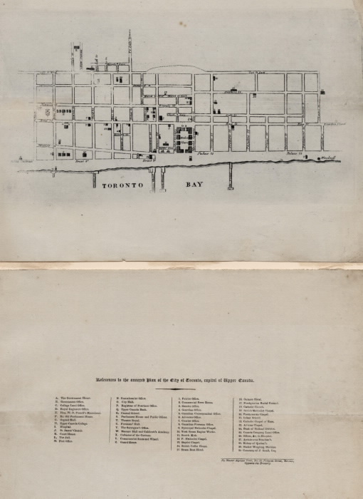
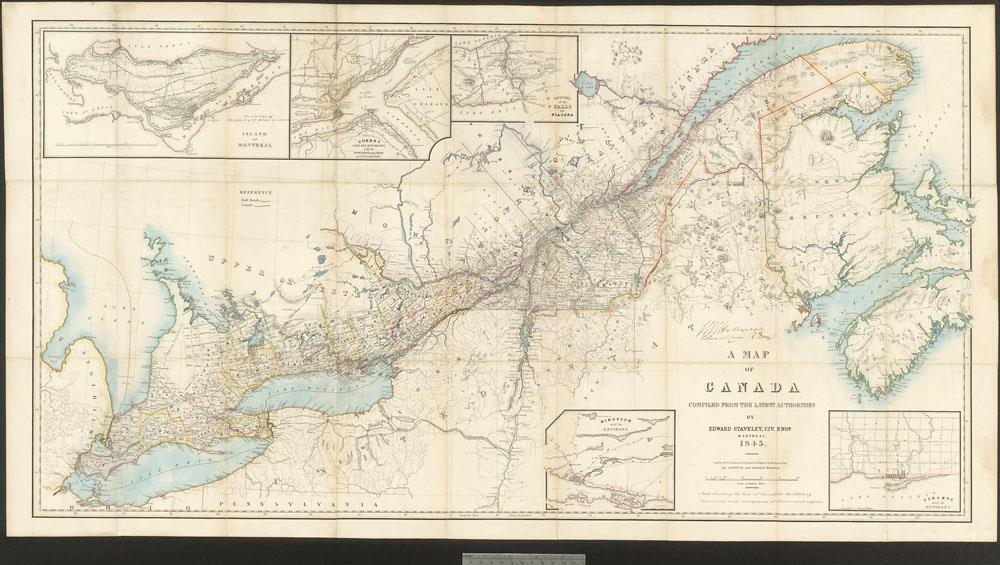
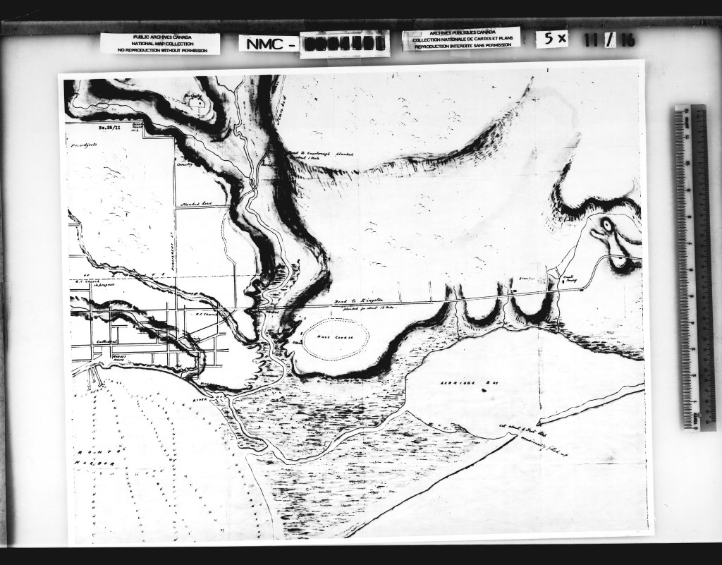
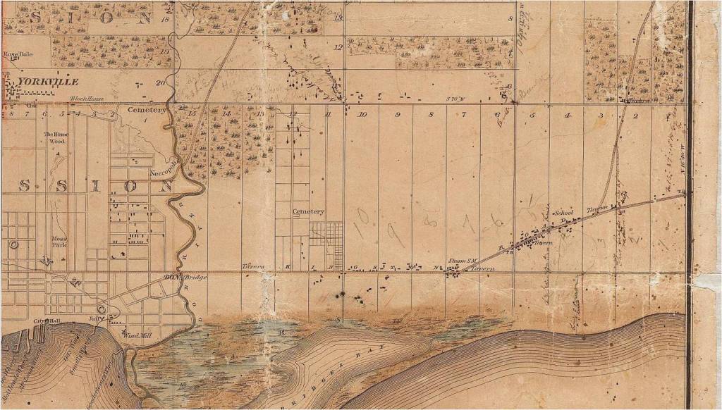
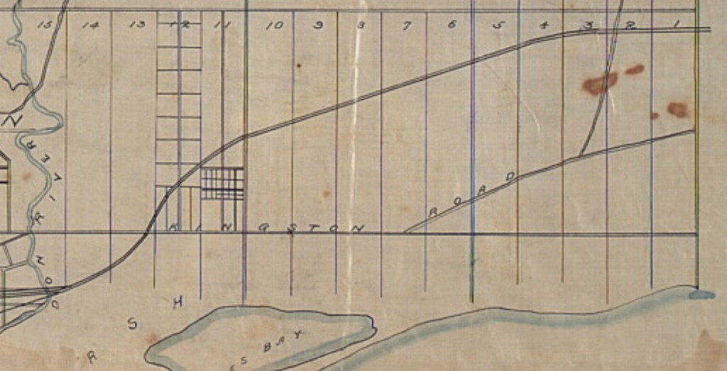
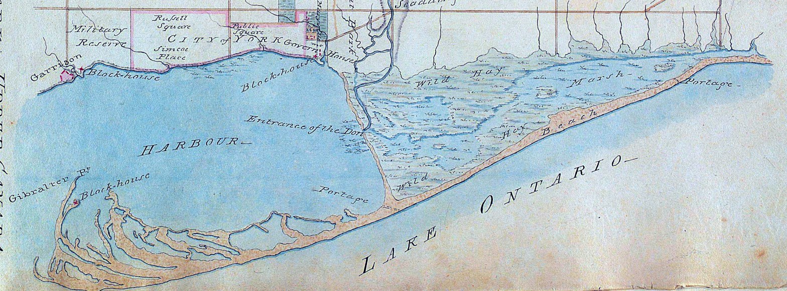
1802 Chewitt mapdetail 1802 Chewitt map (digitally enhanced)A new map of Upper and Lower Canada, 18071810 Map of Don River and nearby creeks181118131813 Sketch of the ground in advance of and including York, Upper CanadaYork, 18141817 Plan of YorkPlan of the Town of York, 1818, unknown 18191833 Bonnycastle No.1 Plan of the Town and Harbour of York1834Toronto in 1834183718431846 Holloway map184618511851 Detail showing the subdivision near the Leslie Street School1857Boulton, W. S. Atlas of the City of Toronto and Vicinity, 1858 detail1860 Tremaine map of Leslieville and Beach1868
Welcome to the Leslieville Historical Society's website. Please feel free to join us, to ask questions, to attend walking tours and other events, and to celebrate Leslieville's past while creating our future. Guy Anderson, President, Leslieville Historical Society and Joanne Doucette, local historian and webmaster.
View more posts