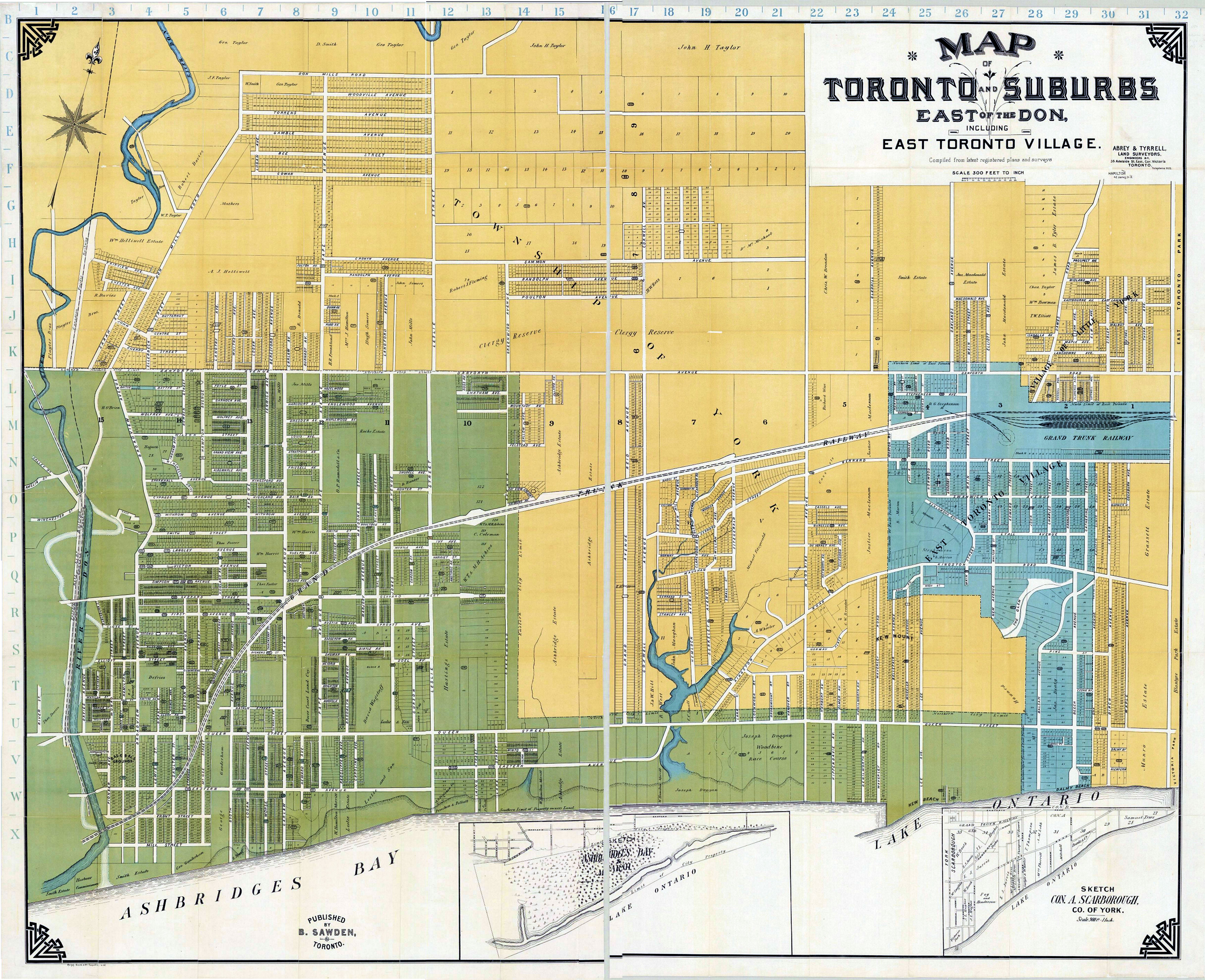
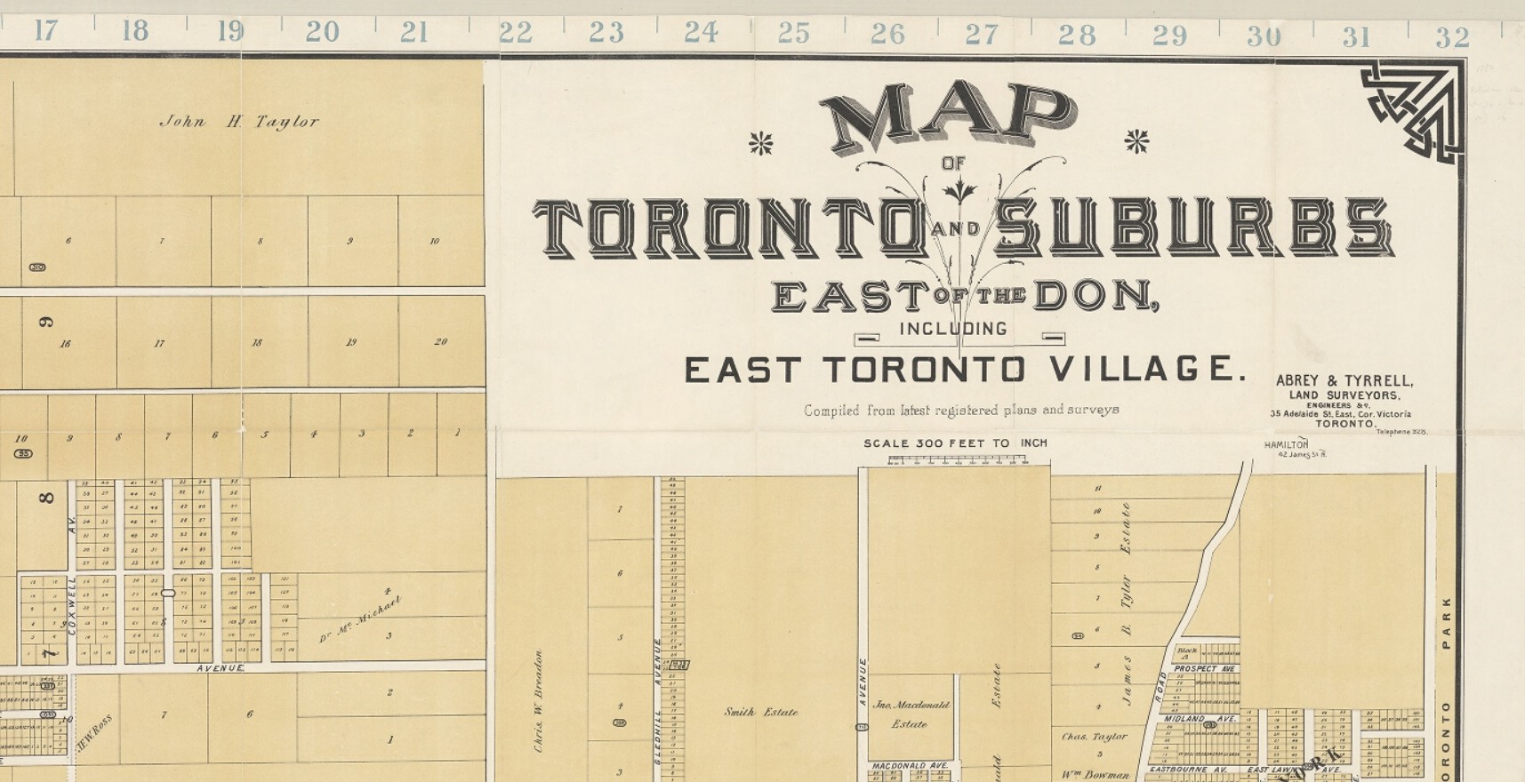
1908 Abrey and Tyrell Map in full. Sections are included (below) to make the map and the information on it more accessible.I particularly love this is beautiful and detailed map, but it needs to be looked at with care since it is a map of plans and surveys, some of which were never built!
This slideshow requires JavaScript.
From the Don River to Greenwood and from East York to Ashbridge’s BayGreenwood to Coxwell, East York to Ashbridge’s BayFrom Coxwell to the boundary with Scarborough. Blue indicates the Village of East Toronto — an independent and separate municipality with its own town hall, services and council.north of the Danforth include part of East York and the area known as Doncaster.The northern part of East Toronto VIllage and the land occupied by the Toronto Golf Club. This has been surveyed and a subdivision planned, but that plan never came to fruition and many of the streets were never built, at least as configured on this map. Note the large Grand Trunk Railway yard and roundhouse. The area between East Toronto Village and the City of Toronto was called “Midway”.From Ashbridge’s Bay and Lake Ontario to Kingston Road, including Small’s Pond (left), Glen Stewart Ravine (called “The Glen” on the map), and the village of Norway. Like Leslieville and Don Mount, Norway was a postal village and was not incorporated as a municipality, unlike the Village of East Toronto.From Coxwell Avenue to Victoria Park, including the Woodbine Race Track, Kew Beach, and Balmy Beach.
Welcome to the Leslieville Historical Society's website. Please feel free to join us, to ask questions, to attend walking tours and other events, and to celebrate Leslieville's past while creating our future. Guy Anderson, President, Leslieville Historical Society and Joanne Doucette, local historian and webmaster.
View more posts
2 thoughts on “A map of what was and what might be, 1908 Abrey and Tyrell Map”
Am I mistaken, or in the Abrey and Tyrell is there no Withrow Park as we know it today? It looks as if they’d planned to build houses on that site.
Yes, you are right. This is a map showing all registered subdivision plans, including those that were never realized such as the one for what is now Withrow Park.