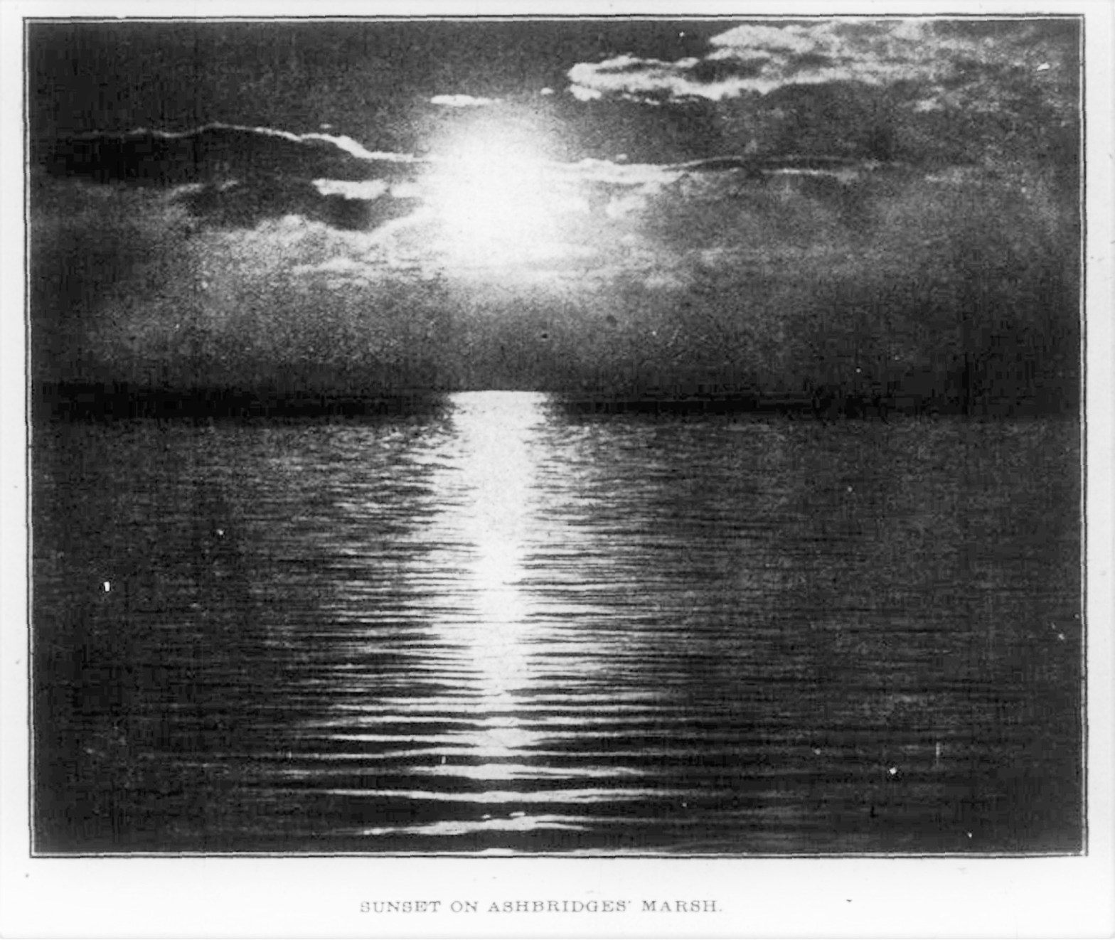
By Joanne Doucette What we have now, a small body of very polluted water at the base of Coxwell Avenue, is not what Ashbridge’s Bay once was or could be again–with imagination, investment and time. And time is what today’s post is all about. It is a very detailed timeline of Ashbridge’s Bay. Take yourContinue reading “January 26 in Leslieville”
Category Archives: Maps
Location, Location, Location

A Graphic Presentation of Toronto’s Real Estate Activity, Toronto Star, May 1, 1912 Key to the Map The Neighbourhoods
The Blake Street Subdivision Lot 11, Concession One from the Bay, Subdivision Plan 154

Someone graciously shared a digital copy of this original subdivision plan which I have adjusted to make it a little straighter and easier to read.
